

A Part 107-certified REALTOR® on why aerial media stopped being optional and what to ask before you list.
KEY TAKEAWAY
Drone footage stopped being a premium add-on somewhere in the last eighteen months. More than half of agents now use it, and the ones who don't are increasingly the ones explaining why their listing looks flat next to the competition.
Two years ago, drone footage was the thing that made a listing feel a little more premium, a nice-to-have a seller could add if the budget allowed it. That's not what it is anymore.
Agent drone adoption jumped from roughly 35% in 2024 to 52% in 2025, and listings marketed with aerial photography sell an estimated 68% more often than those without it. Somewhere in the last eighteen months, drone footage crossed from differentiator to baseline expectation, and most sellers haven't caught up to what that means for how their home gets marketed.
Quick answer: Drone use among real estate agents jumped from roughly 35% in 2024 to 52% in 2025, and listings with aerial photos sell measurably more often. Aerial media has crossed from nice-to-have to baseline: sellers who skip it are now the exception, not the early majority.
The Numbers Behind the Shift
A basic drone photo package still runs $50 to $400 per property, with full aerial video or a linked virtual tour landing between $500 and $1,000 or more. That's not a rounding error on a listing budget, but set against a metro-wide inventory of over 11,400 active listings, it's increasingly the cost of just being competitive rather than standing out.

LOCAL INSIGHT
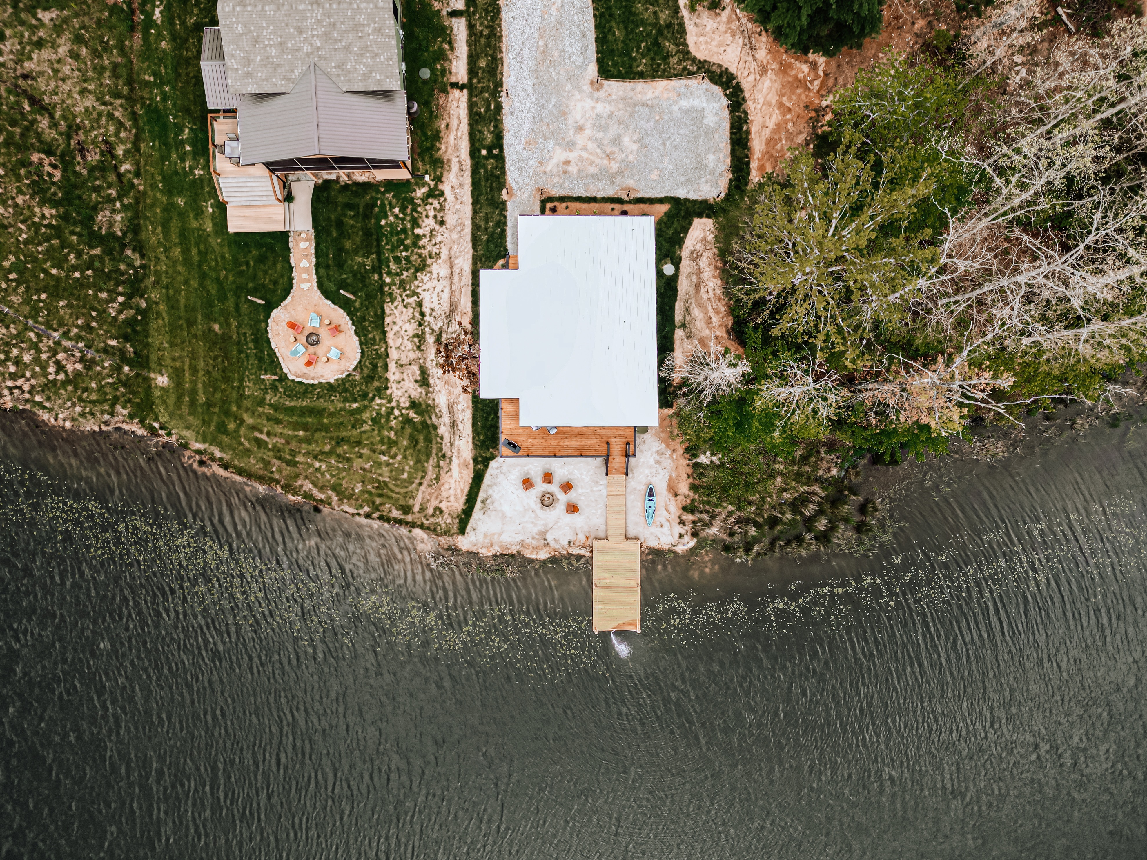
Middle Tennessee's acreage and water-adjacent listings (Percy Priest, Old Hickory, and the Harpeth River corridor) lose the most from ground-only photography, since the lot itself is often half the sale.
Why This Happened Now, Not Five Years Ago
Part of it is simple economics: drones got cheaper and the footage got dramatically better. But the bigger driver is the market itself. With more competing listings and longer days-on-market than Nashville has seen in years, sellers can't count on urgency to do the marketing for them anymore. A listing has to earn the scroll-stop on its own, and short-form vertical video with drone footage woven in is what's doing that on Instagram Reels, TikTok, and YouTube Shorts right now.
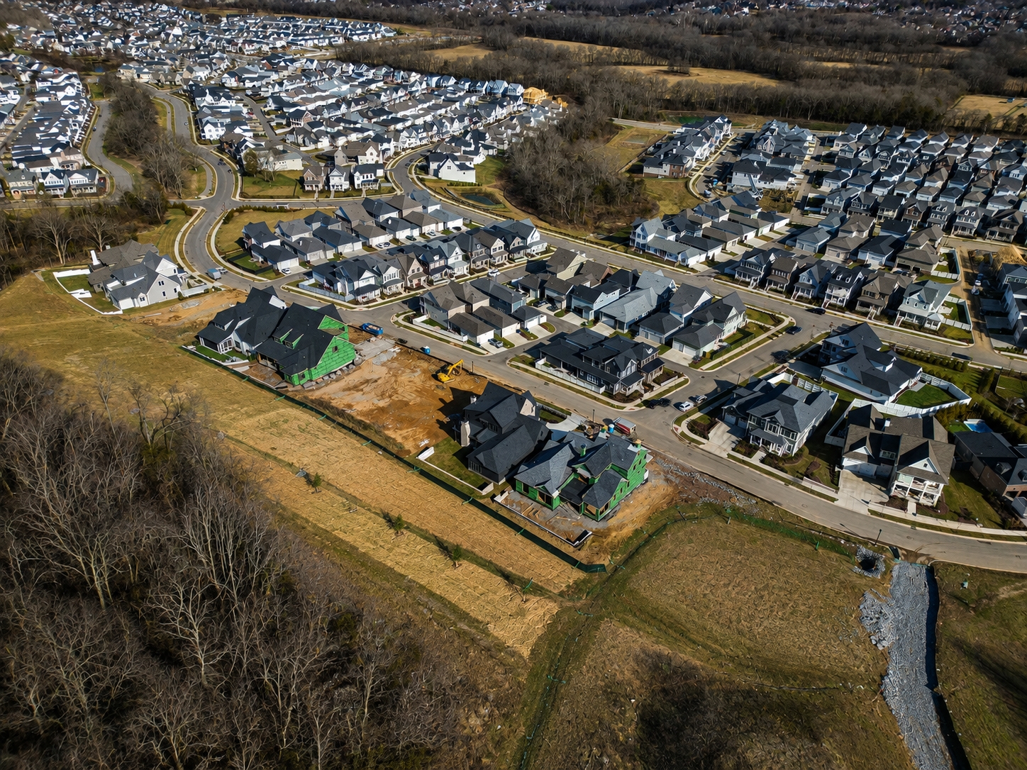
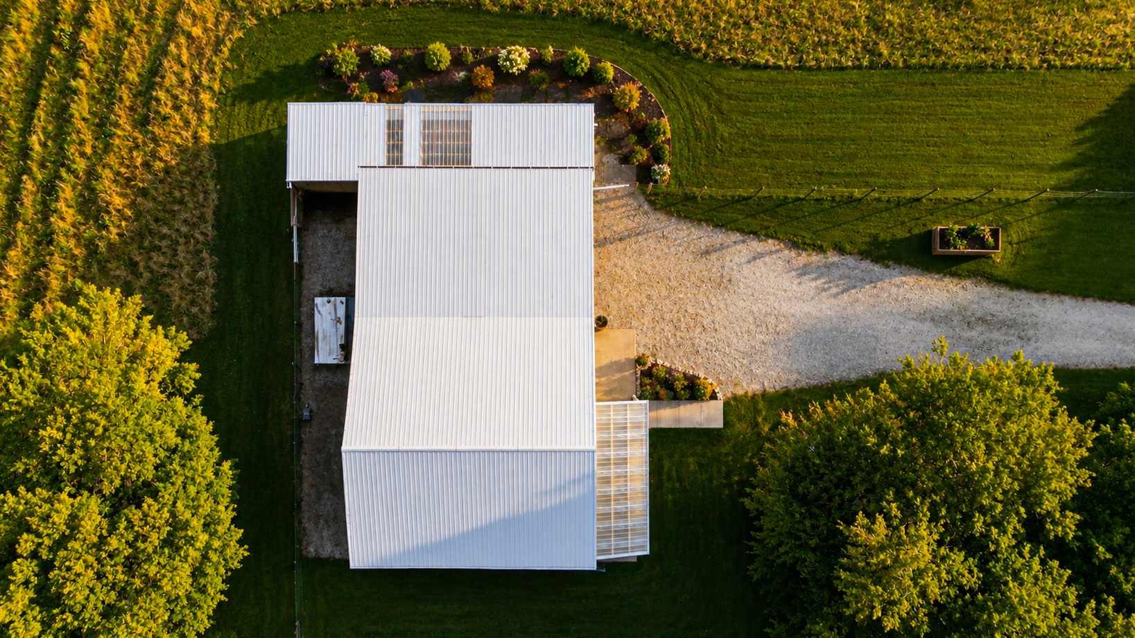
A ground-level photo shows a house. A drone shot shows the lot, the neighborhood, and the thirty seconds of context that makes someone stop scrolling.
What a Part 107 Certification Actually Requires
Any drone flight connected to a real estate transaction, even a quick neighborhood establishing shot, counts as commercial use under FAA rules, which means the pilot needs an FAA Part 107 Remote Pilot Certificate. That certification comes with real limits: a 400-foot altitude ceiling above ground level unless the operator holds a waiver, a requirement to keep the aircraft within visual line of sight at all times, mandatory registration of the drone itself, and updated liability insurance. Flying commercially without it isn't a technicality. It can carry fines up to $32,000 per violation.
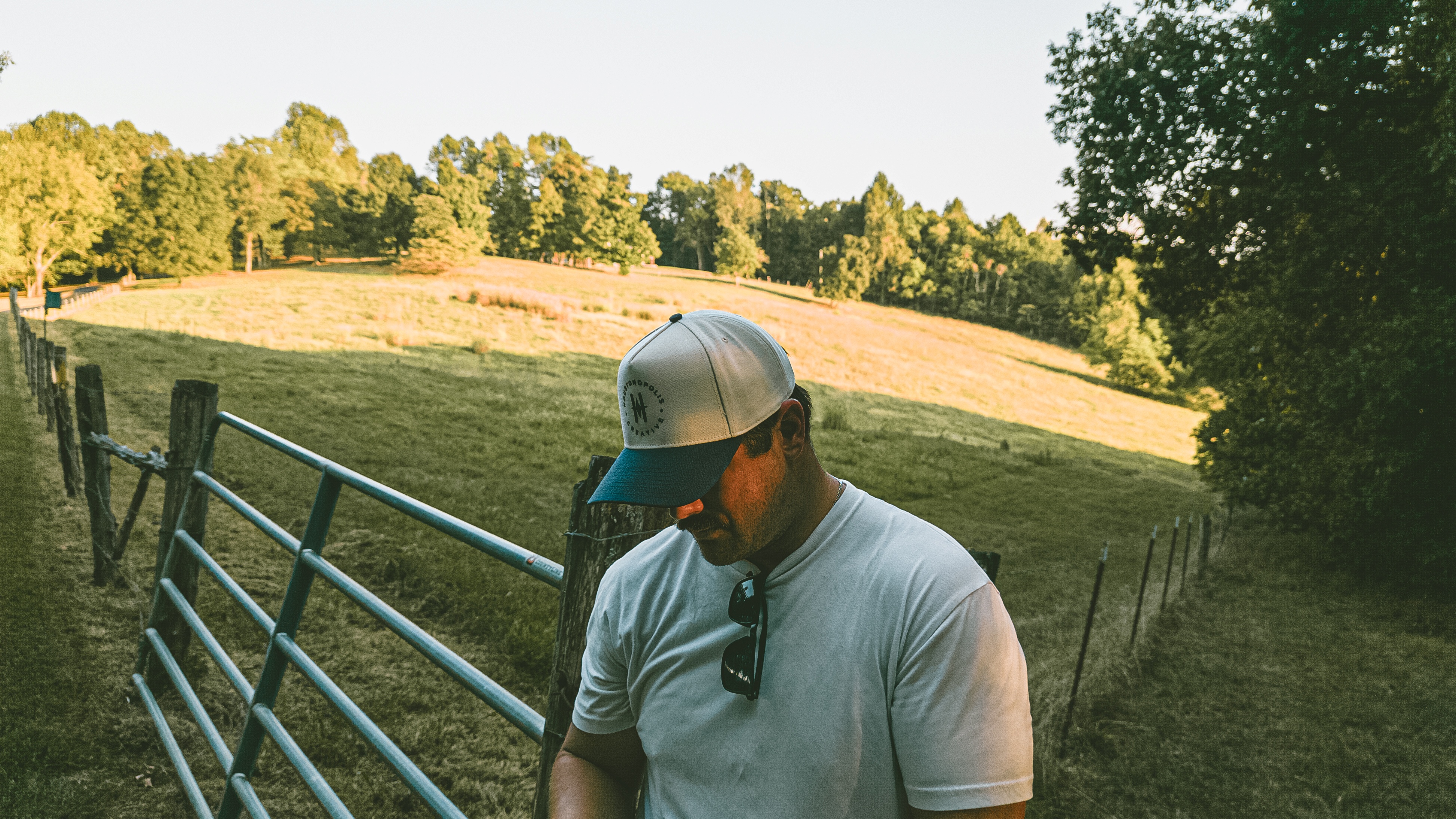
I hold Part 107 certification myself, along with a Tennessee real estate license, which is part of why I fly every shoot personally rather than handing it off. It's the same reason I'd ask any agent showing up with a drone whether they're actually certified before they take off over your property.
Quick Stats
35% → 52%
Share of U.S. agents using drone photography, 2024 to 2025
68%
More often listings with aerial images sell versus those without
40%
More inquiries on listings marketed with video
400 ft
FAA altitude ceiling for standard Part 107 commercial drone flights
Where Ground Photography Still Falls Short
A ground-level photo shows a house. It doesn't show the lot size, the tree line, how close the neighbors actually are, or what's two doors down. For anything with acreage, water frontage, or a location story to tell, like a lake lot on Percy Priest, a property backing up to the Harpeth, or a home on a few unfenced acres outside Franklin, skipping the aerial shot means skipping the actual selling point.
BEST FOR
Listings with lot size, water frontage, or acreage as a selling point, and any home competing against newer construction that's already marketing with aerial footage.
What to Ask Before You List
Before you sign with an agent or a photographer, it's worth asking a few direct questions: Is aerial photography or video included, or is it an upsell? Is the pilot FAA Part 107 certified, and can they show it? Is the drone operator carrying liability insurance? None of these are aggressive questions. They're the same ones a buyer's agent should be asking on your behalf before anyone flies over a property.
TIP
If your listing photos don't include at least one aerial frame, ask your agent why before you ask about price.
Where the Bar Goes From Here
The next step past standalone drone photos is already showing up in the data: agents are linking full Matterport or 3D walkthroughs together with aerial footage into one connected experience, and roughly 82% of sellers say they'd switch to an agent who offers a 3D tour. Drone footage got sellers to the bar. The next differentiator is what you connect it to.
Frequently Asked Questions
Do I really need drone photography for my listing? If your home has any lot, location, or neighborhood story to tell, aerial photography is close to standard now, not optional. Interior-only properties with no exterior story may need it less.
Is drone real estate photography legal without a license? No. Any commercial real estate drone flight requires an FAA Part 107 Remote Pilot Certificate, and flying without one risks fines up to $32,000 per violation.
How much does drone photography cost for a listing? A basic aerial photo package typically runs $50 to $400 per property; full video or a linked virtual tour runs $500 to $1,000 or more.